
App Logo

Download Our App

Shop your way

logologo
Image

Petra City

11/20/2023By: Razan
Petra City

Where is the city of Petra located?

The city of Petra is located in southern Jordan, and it is a historical archaeological city dating back to ancient times. Petra was founded in the 4th century BC and is considered one of the Seven Wonders of the World. Petra is famous for its magnificent architecture and especially for the famous Treasury known as the "Blue Treasury", which is one of the main tourist attractions at the site.

Seven Wonders of the World

Petra represents an important and historical archaeological site, and its most famous landmark is Al Khazneh (The Blue Treasury), a rock-cut temple dating back to ancient times. Petra reflects multiple cultural influences, combining Byzantine, Roman, and Nabataean elements. Petra was included in the list of the Seven Modern Wonders of the World, chosen in 2007 in a global competition called “The New Seven Wonders of the World.” This list is a tribute to the wonderful cultural and historical heritage that Petra represents.

Archaeological sites inside the city of Petra

Petra contains many important archaeological sites and historical monuments that form a diverse collection of monuments. Here are some of the main sites inside Petra: Al Khazna (The Blue Treasury): It is one of the most famous landmarks in Petra. It is a huge building carved into the rocks and is considered the main entrance to the city. Main Market (Golden Street): This main street runs through the old city and contains many temples and important buildings. Roman Theater: A large theater dating back to Roman times, and it was used for cultural and entertainment events. Deir el-Deir: Also known as the “Royal Monastery”, it is a huge temple located in the northwestern part of Petra. Deir Al-Qasr: Another temple located in Petra and famous for its unique architecture. Byzantine Church: This church is considered one of the most important religious landmarks in Petra and dates back to the Byzantine period. These are just a few of the main sites within Petra, and there are many other areas of historical and cultural importance within this magnificent archaeological city.

Climate in Petra

The Petra region is characterized by a desert climate. Here are some of the main features of the climate in this region: Heat: Temperatures are high in the summer, where they can reach high levels. In winter, the temperature is milder, but it can be cold, especially at night. Rainfall: Rainfall in this area is little. Most precipitation is during the winter months, but is generally minimal. Drought: Drought is a common phenomenon in the region, and rainfall may be insufficient to meet the needs of plants and water resources. Wind: The area is sometimes exposed to strong winds, especially in the spring. These weather conditions make Petra a unique experience for visitors, and it may be useful to take this into consideration when planning a visit and take the necessary measures to adapt to the weather conditions.

History of the city of Petra

The city of Petra was founded in the fourth century BC, and it is a historical archaeological city located in southern Jordan. Petra was founded by Napoleonic Arab nobles who established the Napetan Kingdom. Petra was the capital of this kingdom and an important trading center on ancient trade routes. During ancient times, Petra continued to influence and develop, going through various experiences under the rule of the Roman Empire and the Byzantine Empire. In the Middle Ages, Petra's importance gradually declined, but it remained inhabited until modern times. Petra was discovered to the modern world in the 19th century, and its magnificent monuments and unique architecture have piqued the world's interest. Petra has become a popular tourist site and a UNESCO World Heritage Site.

Nabatean Arabs

The Nabataeans are the Arab race that lived in the ancient Petra region and were its original inhabitants. The Nabataean Kingdom was established in the first centuries BC, and it occupied a wide area extending from northern Arabia to southern Jordan and northern Iraq. Petra was the capital of the Nabataean Kingdom and a vital center on the ancient trade route. The Nabataeans were an advanced trading society, and benefited greatly from their strategic location on major trade routes between East and West. Their culture was also characterized by a language of their own and a distinctive style of writing on rocks known as “Nabataean writing.” With the establishment of the Roman Empire in the region, the Nabataeans interacted with the Romans and were influenced by their culture. After a while, Petra became part of the Roman Empire and an embodiment of the meeting of cultures between the Romans and the Nabataeans.

Residents of the city of Petra

In ancient times, the city of Petra was inhabited by the Nabataeans, an Arab group of ancient Arabs. The Nabatean Kingdom was founded in the fourth century BC, and Petra was its capital and main urban center. The Nabataeans experienced economic and cultural growth with the development of Petra, and were highly dependent on trade thanks to the city's strategic location on ancient trade routes that linked Arabia to the Near East and the Red Sea. Regarding the later period, during the Middle Ages and the period of the Byzantine Empire and Islamic rule, Petra experienced changes in population and uses. Petra was influenced by cultural diversity arising from contact with the Romans, Byzantines, Arabs and Muslims. Today, Petra's modern-day population includes employees and residents from the surrounding areas, and the city survives mainly from tourism, with visitors coming from all over the world to explore its history and unique attractions.

The religious importance of the city of Petra

Temples and religious scenes: Petra had many temples and religious sites, such as the monastery and various temples on both sides of the main street. Monastery: The monastery is a huge temple located in the northwestern part of Petra. The monastery is considered one of the most important religious monuments in the city and was a symbol of spiritual importance. Cultural influences: Petra has been influenced by many cultures and civilizations, including the Romans and Byzantines. These influences have led to the development of various religious rituals and beliefs in the city. Architectural construction: The rock carving and construction of Petra reflects high engineering skills, devotion to worship, and religious significance. Religious rituals: Petra was home to religious rituals and ceremonies, where rituals could be performed in temples and a designated place of worship. Although uses have evolved over the ages, the religious influence remains evident in the city of Petra, highlighting the religious and spiritual role as part of the daily life of the Nabataeans and the communities that influenced the development of the city.
* All articles published on this blog are sourced from various websites and are provided for informational purposes only. They should not be considered as confirmed studies or accurate information. Please verify the information independently before relying on it.

Similar ARTICLES

Homer's epics, the Iliad and the Odyssey: From myth to the seventh art
The Iliad and the Odyssey began as oral poetry tied to places, routes, and local memories around the Aegean. Long before they became school texts, they functioned like cultural maps: lists of ports, islands, winds, and landmarks that helped listeners imagine distance and direction. That geographic backbone is one reason the stories keep resurfacing in modern travel culture and in cinema, the “seventh art,” which depends on movement through space. For travelers, the epics offer a structured way to read the Mediterranean. The Iliad anchors itself in a single theater of action near the Dardanelles, while the Odyssey expands into a chain of stops across seas and coasts. For filmmakers, that difference matters: one narrative is concentrated and siege-like; the other is episodic and itinerary-driven. Both invite location-based storytelling, and both have been repeatedly adapted, quoted, and reimagined because they provide recognizable characters and a strong sense of place. This article approaches Homer less as a mythic authority and more as a practical sourcebook for cultural exploration. It traces how the epics moved from legend to screen, and how that shift changed the way audiences “visit” Troy, Ithaca, and the wider Greek world—sometimes through actual travel, sometimes through cinematic travel, and often through a blend of both.
Faces That Shape Istanbul and Bursa
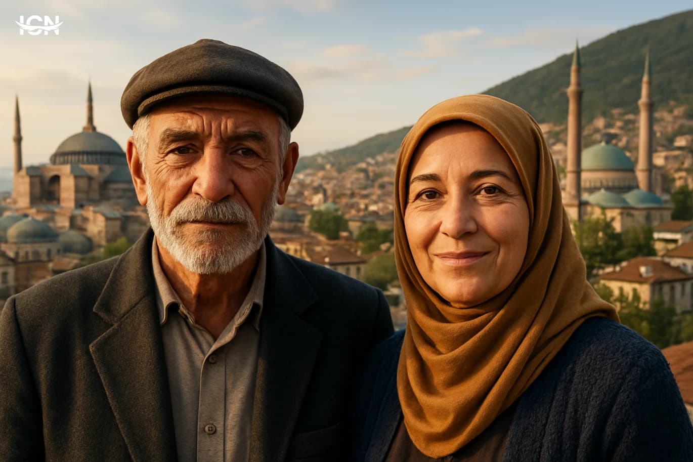
Travel between Istanbul and Bursa is often described in terms of ferries, highways, and day trips. Yet the most accurate map of this corridor is drawn by people: the shopkeepers who keep a neighborhood’s rhythm, the craftspeople who preserve skills in small workshops, and the hosts who turn a short stop into a lasting memory. Istanbul’s scale can make it feel like a collection of separate cities, while Bursa’s pace is calmer and easier to read. Moving between them highlights how local faces, not landmarks, give each place its recognizable character. This blog looks at the human layer of the journey: who you meet, what they do, and how their daily routines shape what visitors experience. It focuses on practical, observable details—where conversations happen, how service is offered, what is made by hand, and how traditions are kept current. The goal is not to romanticize the route but to understand why two cities so close in distance can feel distinct in tone, and how the people you encounter become the most reliable guide.
Barcelona Markets Worth Your Time
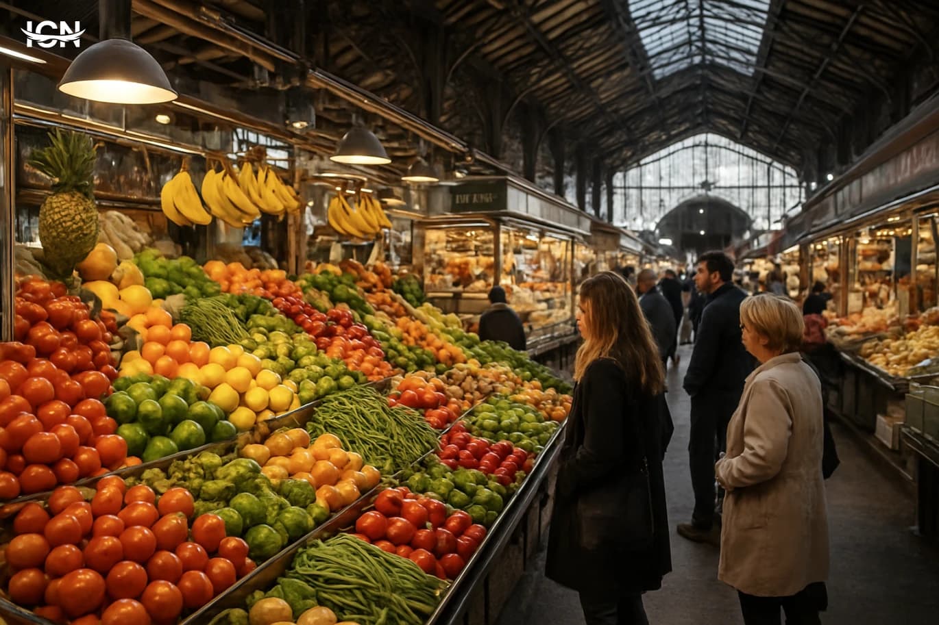
Barcelona’s markets are not all the same, and a good plan helps you see more than just the most famous hall. Start by deciding what you want to buy: fresh produce for a picnic, ready-to-eat bites, specialty ingredients, or non-food items like books and crafts. Most food markets are busiest in the late morning, while flea and design markets often peak around midday. If you want better photos and calmer aisles, arrive close to opening time and keep your list short so you can browse. Bring a reusable bag and small cash, even though many stalls accept cards. If you are shopping for ingredients, ask vendors about seasonality and local varieties; Catalan produce names can differ from what you see elsewhere in Spain. For prepared foods, look for stalls with visible turnover and clear pricing. A practical route is to pair one central market with one neighborhood market and finish with a weekend-only market if your schedule allows. Finally, treat markets as part of a wider neighborhood visit. Each market sits in a different urban context: some are in historic cores, others in residential districts with fewer tourists. Combining a market stop with a nearby park, a museum, or a short walk to a viewpoint turns shopping into a structured day of exploring the city.
Kashmir Through Lakes, Meadows, and Seasons
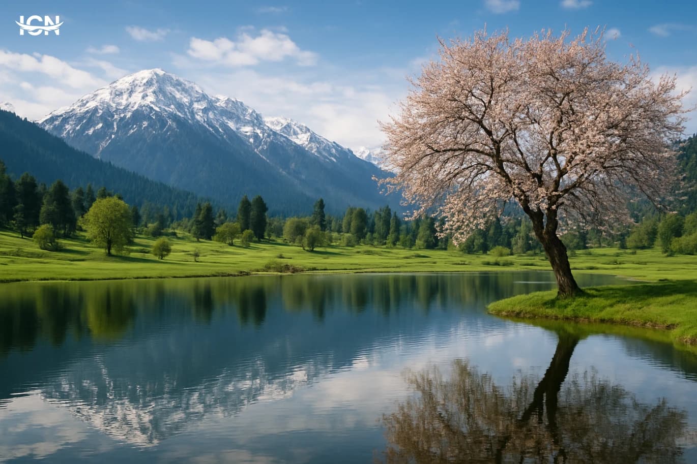
Kashmir’s appeal is often described as “scenic,” but the real story is how water and altitude organize daily life and travel routes. The valley sits within the western Himalayas, where snowmelt feeds rivers and wetlands before collecting in lakes. This geography creates distinct belts: lakefront neighborhoods, orchard-lined plains, and higher meadows that open only when passes are clear. For visitors, it means the same day can include a calm shikara ride on a lake, a drive past saffron fields, and a short climb to viewpoints that look over layered ridges. The region’s lakes are not just photo backdrops; they are working ecosystems and transport corridors. In Srinagar, waterways connect floating gardens, houseboats, and markets that still rely on boats for certain deliveries. Beyond the city, higher-altitude lakes and streams support trout farms and small hydropower stations, while wetlands provide habitat for migratory birds. Understanding this water network helps travelers plan realistically: mornings are often best for lake activities due to lighter winds, while afternoons suit road trips to meadows and hill stations when visibility improves.
Marnis Reshapes Asir’s Summer Scene
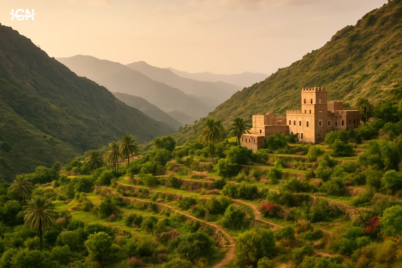
Marnis has emerged as a summer destination that changes how visitors read Asir’s tourism map. Instead of relying only on scenic viewpoints and short stopovers, the project positions itself as a full-day and multi-day experience built around programming, services, and a clear visitor journey. For travelers arriving from Abha, Khamis Mushait, or neighboring regions, the appeal is the combination of mild highland weather with an organized entertainment calendar that reduces the guesswork of “what to do next.” What makes Marnis notable is the way it packages nature, leisure, and hospitality into a single, managed setting. Visitors can plan around fixed event times, curated zones, and on-site amenities rather than improvising across scattered locations. This approach aligns with the growing demand for destinations that offer comfort, safety, and variety for families, groups of friends, and solo travelers who want structured options without losing the feeling of an outdoor escape.
Patagonia Argentina Beyond the Postcards
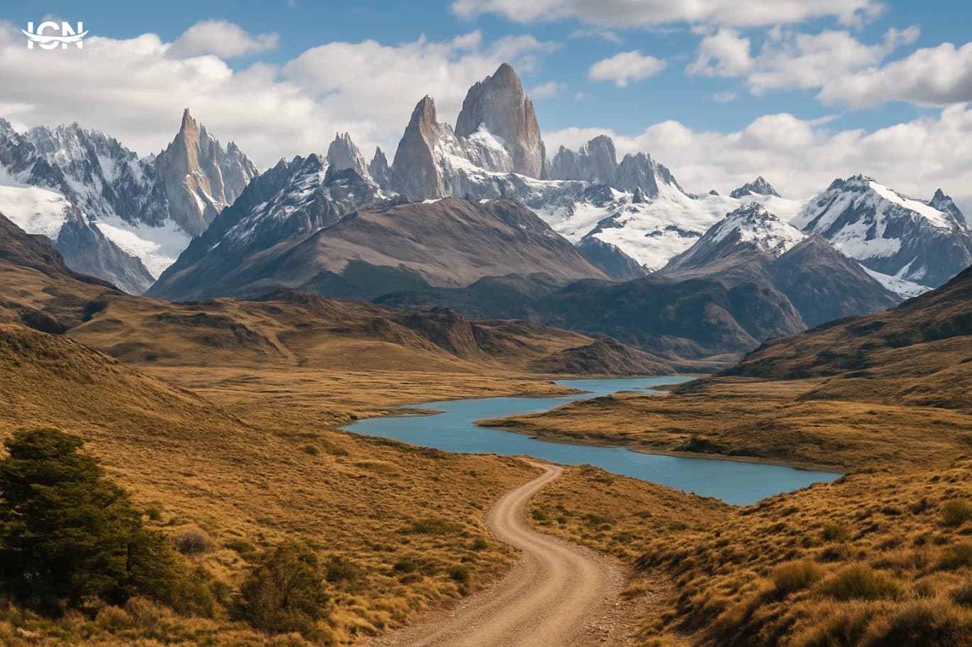
Argentine Patagonia is not one destination but a long southern corridor that stretches from the Lake District around Bariloche down to the windswept steppe and the glacier fields near El Calafate and El Chaltén. Distances are part of the experience: a bus ride between hubs can take half a day, and a “nearby” viewpoint may still require a long gravel road. The region’s identity comes from contrasts—deep blue lakes, arid plains, jagged granite peaks, and ice that moves like a slow river. For travelers, the practical starting point is usually one of three gateways: Bariloche for lakes and forests, El Calafate for glaciers, or El Chaltén for trekking. Each town has a different rhythm and price level, and choosing the right base can shape the entire trip. Bariloche feels like a full-service mountain city with many day trips; El Calafate is a logistics hub built around excursions; El Chaltén is small, walkable, and focused on trails. Planning around these roles helps avoid wasting time and money on backtracking.
Armenia’s Quiet Treasures in the Caucasus
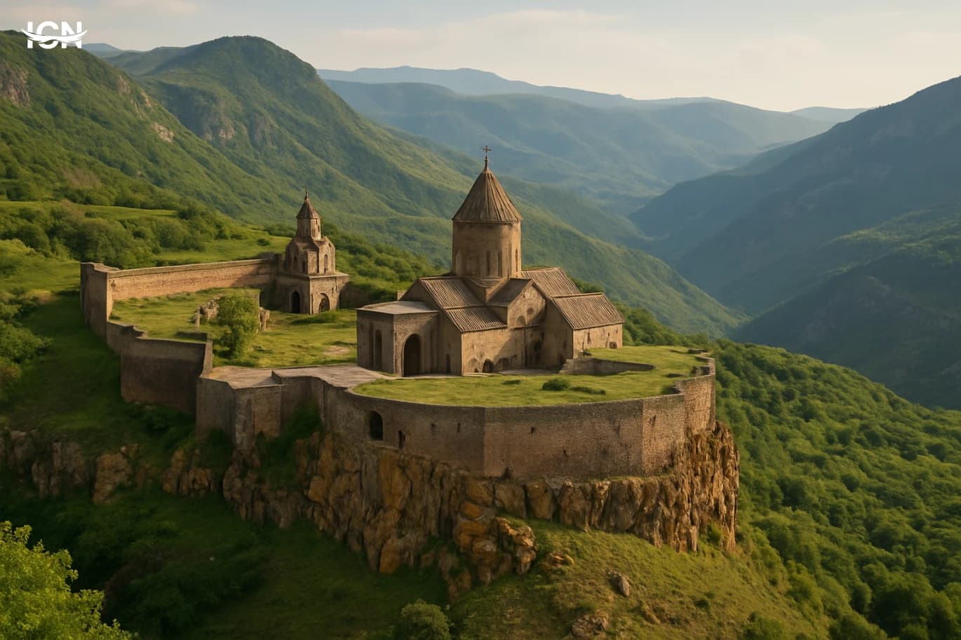
Armenia is compact, mountainous, and easy to navigate, yet it offers a dense mix of landscapes and heritage within short driving distances. From Yerevan, many signature sites are reachable in one to three hours, which makes the country practical for travelers who want variety without constant long transfers. The capital itself is a useful base: it has walkable neighborhoods, a growing café culture, and a calendar of concerts and markets that can fill evenings after day trips. What sets Armenia apart is how daily life and history sit side by side. You can move from a modern street lined with bakeries and bookstores to a centuries-old monastery complex in the same day. The country’s elevation shapes the experience: even in summer, evenings can be cool in the highlands, and viewpoints are a recurring highlight. For visitors, this means packing layers and planning around changing weather, especially if you intend to combine city time with lake shores and mountain roads. Armenia also works well for travelers interested in food and craft traditions. Local produce, herbs, and dairy are prominent, and small family-run wineries and brandy houses are common stops. The tourism infrastructure is improving steadily, with more boutique hotels, guided hiking options, and English-language signage in major areas, while still retaining a low-key atmosphere compared with larger regional destinations.
Grindelwald Beyond the Postcard
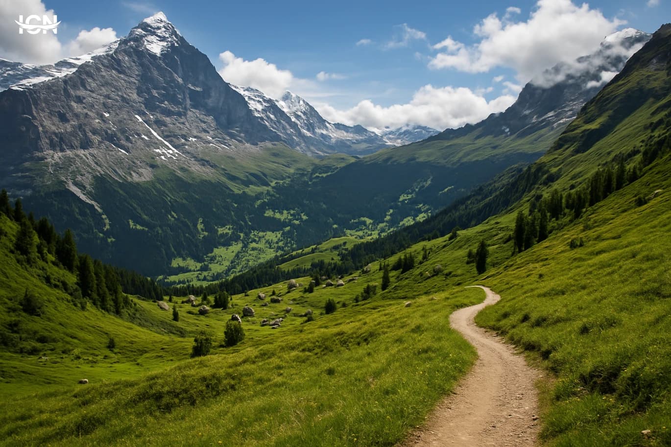
Grindelwald sits in the Bernese Oberland as a working mountain village that also happens to be one of Switzerland’s most practical bases for outdoor travel. The valley floor is easy to navigate on foot, with clear signposts to trails, lifts, and train connections, while the surrounding slopes rise quickly into alpine terrain. That layout matters: you can start a hike minutes after breakfast, return to the village for lunch, and still have time for a late-afternoon cable car ride. The area is known for big-name peaks, but the real advantage is how efficiently the local transport network links viewpoints, trailheads, and weather-safe alternatives. Seasonality shapes the experience more than most first-time visitors expect. Summer and early autumn are about long daylight hours, open ridge walks, and mountain restaurants that operate like small logistics hubs for hikers. Winter is structured around ski areas and prepared walking routes, with frequent lift schedules designed to move people quickly between the village and higher stations. Shoulder seasons can be quieter and better for photography and village walks, but some lifts and high trails may close for maintenance. Planning around operating dates is as important as packing the right jacket.
Paros Beyond the City Rush
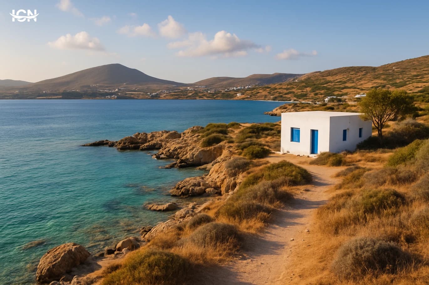
Paros sits in the heart of the Cyclades, yet it often feels calmer than the headline islands. The pace is slower, distances are short, and the island’s everyday life still shows through the tourism layer. You can land in Athens and connect by ferry from Piraeus, or fly to Paros National Airport (PAS) via domestic routes, then be in a seaside village within minutes. The main gateway is Parikia, the port town, where you’ll find practical services, bus connections, and a walkable waterfront lined with tavernas. What makes Paros stand out is how easily you can mix classic Cycladic scenery with low-key routines. Whitewashed lanes and blue shutters are there, but so are small farms, fishing boats, and local bakeries that open early. Even in peak season, you can plan days that avoid crowds by choosing quieter beaches, visiting inland villages at midday, and saving the busiest waterfront promenades for early morning. For travelers who want Greece’s island atmosphere without constant noise, Paros is a strong base.
Bratislava’s Unexpected City Break
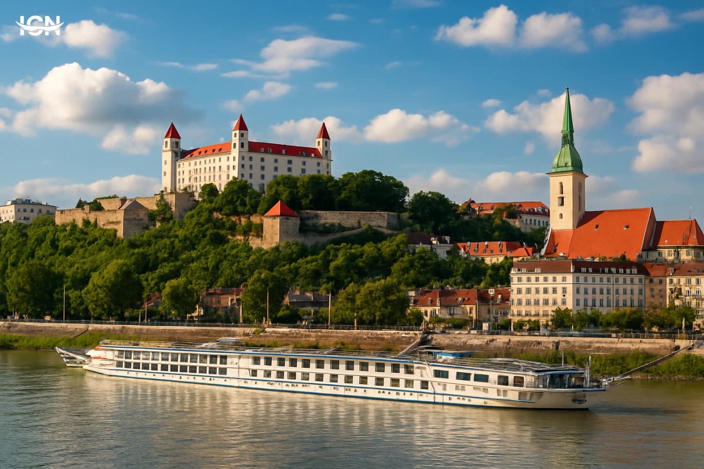
Bratislava is one of Europe’s most manageable capitals, and that is exactly why it works so well as a surprise destination. The historic center is walkable, the main sights sit close together, and the city still feels lived-in rather than staged for visitors. In a single day you can move from a hilltop castle to riverside promenades, then into neighborhoods where locals shop, commute, and meet friends after work. Its location adds to the appeal. Bratislava sits on the Danube and is positioned near the borders of Austria and Hungary, which makes it easy to combine with nearby cities while still giving you a distinct Slovak experience. The city’s character is shaped by this crossroads geography: Central European architecture, a strong café culture, and a calendar of events that mixes local traditions with contemporary design and music. For travelers who want a European break without the pressure of a packed checklist, Bratislava offers a calmer rhythm. You can plan lightly, leave room for detours, and still feel that you have covered a lot. The “surprise” is not one single landmark, but how many different city moods you can sample in a short stay.
A Practical Guide to Slovenia’s Soča Valley
Slovenia’s Soča Valley is a compact region where travel time stays low and daily plans remain flexible. The valley runs along the Soča River in the country’s northwest, with small towns such as Bovec, Kobarid, and Tolmin acting as convenient bases. Distances between trailheads, viewpoints, museums, and restaurants are short, so you can combine outdoor activities with cultural stops without feeling rushed. The area is also well set up for independent travelers: clear road signage, reliable local tour operators for rafting and canyoning, and a growing range of guesthouses and apartments. A one-week itinerary works especially well because the valley offers variety without requiring long transfers. You can spend one day on river activities, another on panoramic hikes, and still have time for food-focused stops and small museums. Weather can change quickly in the Julian Alps, so having multiple options matters; the Soča Valley provides alternatives at different elevations, from riverside walks to higher mountain routes. This balance makes it a strong choice for travelers who want a focused destination that still delivers a full schedule.
Mallorca Summer Highlights You Shouldn’t Miss
Mallorca, the largest of Spain’s Balearic Islands, is built for summer travel because it combines beaches, mountains, historic towns, and reliable infrastructure in a compact area. Most visitors base themselves in Palma for easy access to restaurants, museums, and transport, then take day trips across the island. Driving times are generally short: you can go from the capital to the northwest mountains or the eastern coves in about an hour, depending on traffic. The island’s appeal is not only scenery but variety. You can spend a morning in a Gothic cathedral, have lunch in a fishing port, and finish the day at a calas-style beach with clear water. Mallorca is also well set up for independent travelers: there are frequent buses to major towns, a train line to inland areas, and a wide range of accommodation from boutique hotels in old stone buildings to family resorts near the sand. To make the most of a summer visit, plan around heat and crowds. Start early for popular viewpoints and beaches, reserve tables in Palma on weekends, and consider visiting headline sites in the late afternoon when day-trippers leave. The eight landmarks below cover the island’s most recognizable places and a few essential experiences that help you understand Mallorca beyond a single beach day.
A Practical Week in Slovenia Without a Car
Slovenia is one of the easiest European countries to explore without driving because distances are short, public transport is reliable on core routes, and many highlights sit near train or bus corridors. Ljubljana is compact and walkable, with frequent city buses and clear wayfinding around the riverfront, museums, and main squares. From the capital, you can reach alpine valleys, lakes, and coastal towns in a few hours, often with direct connections. This makes it realistic to plan a full week that combines nature, food, and small cities while keeping logistics simple. A car-free plan also reduces costs that surprise first-time visitors: parking fees in tourist towns, fuel price swings, and the time spent navigating narrow roads in peak season. Instead, you can budget for a few paid experiences that add value, such as a guided cave visit or a local food tasting. The key is to pick a small number of bases and use day trips, rather than changing hotels every night. Slovenia’s size rewards that approach, and it keeps your schedule flexible when weather changes in the mountains.
By clicking the SUBSCRIBE button, you are agreeing to our Privacy & Cookie Policy If you want to unsubsribe the marketing email, please proceed to our privacy center.
© 2005-2026 ICN. All Rights Reserved.